Resilient Ranches
Begin with Healthy Soil
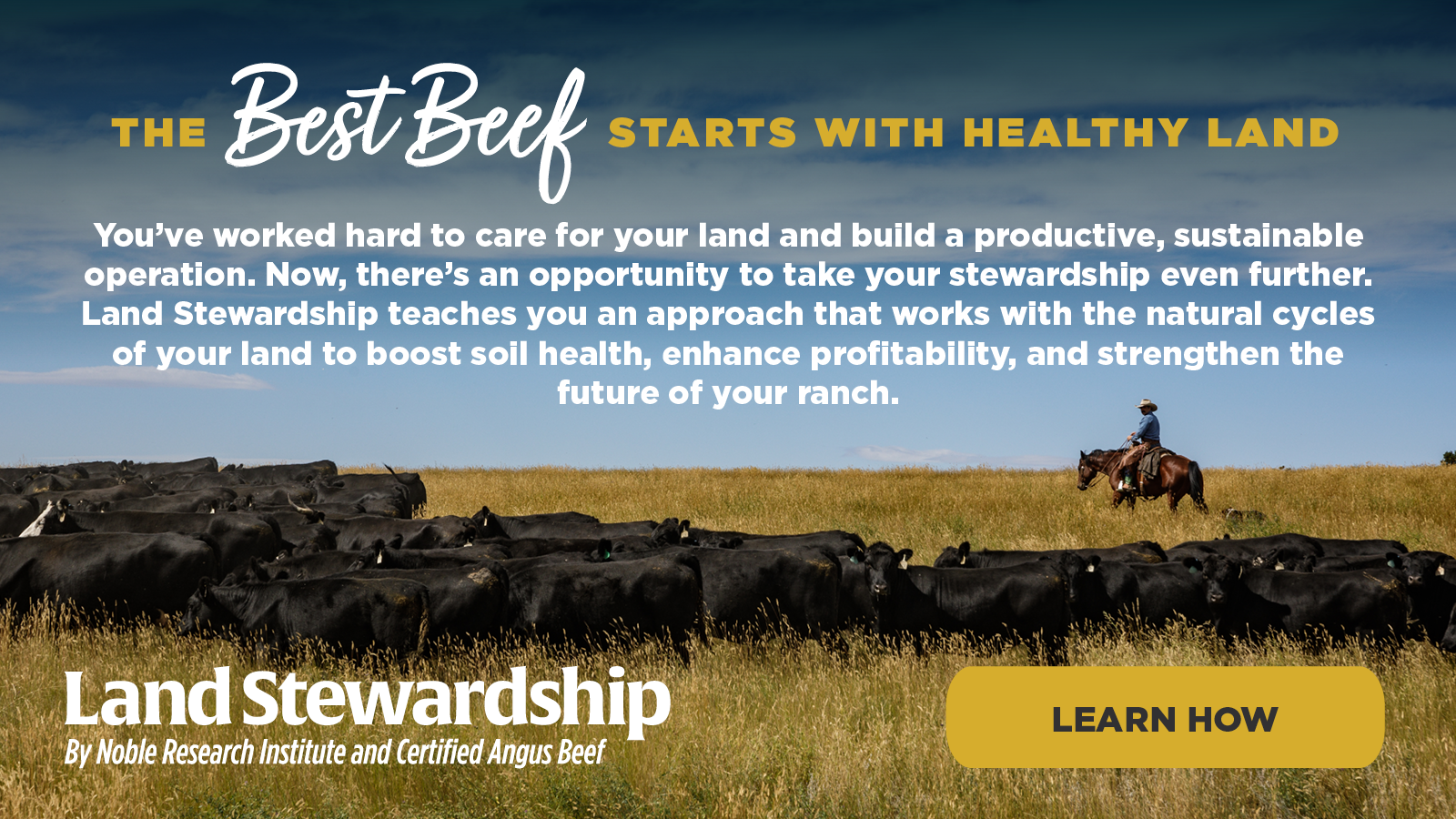
Our educational courses and consultation offer practical skills to farmers and ranchers that build profits and soil health, safeguarding the land for future generations.
Solutions for Every Ranch
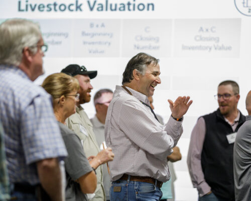
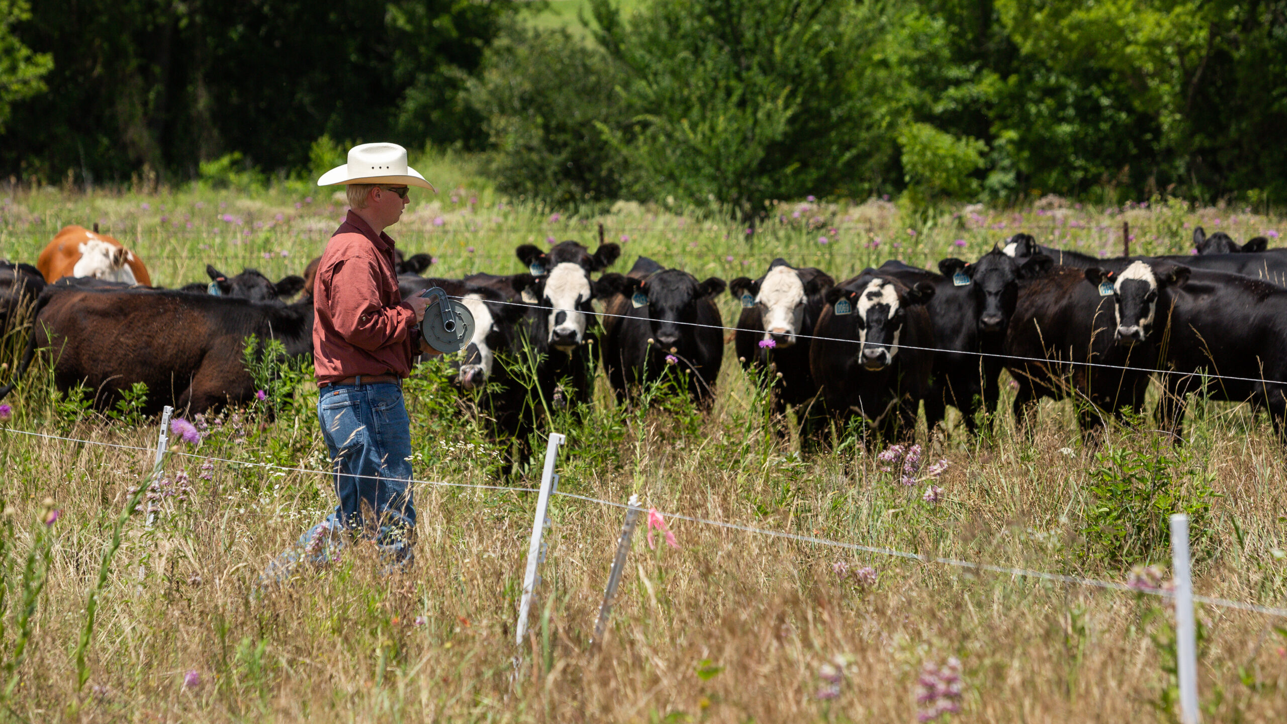
Noble’s educational courses for land stewardship and ranch management provide proven techniques for more profitable grazing operations and healthier, more productive land. No matter the size, location or scope of your operation, Noble’s education and consultation services focus on honing your strengths and bolstering areas where you need support.

“That was the best workshop I’ve attended in my seven decades. Mike and Steven are excellent educators, and the materials were awesome. The course design was not only educational but inspirational and motivational as well. ”
“What I found refreshing was I never felt [the course facilitators] were preaching, but instead, sharing enthusiasm they felt for the regenerative ranching ideas, practices and desired outcomes as they taught us the many benefits of improving our soil health.”

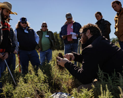
“I love the hands-on portions, going to the fields and actually talking about what’s going on. That is tremendous. The folks at Noble do a wonderful job of that, and it goes beyond just talking. The interaction with my peer group is always refreshing.”
Long Live Our Grazing Lands
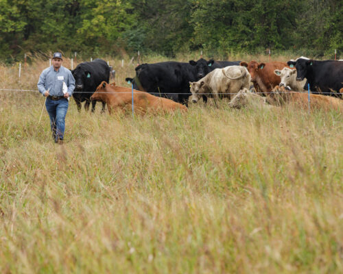
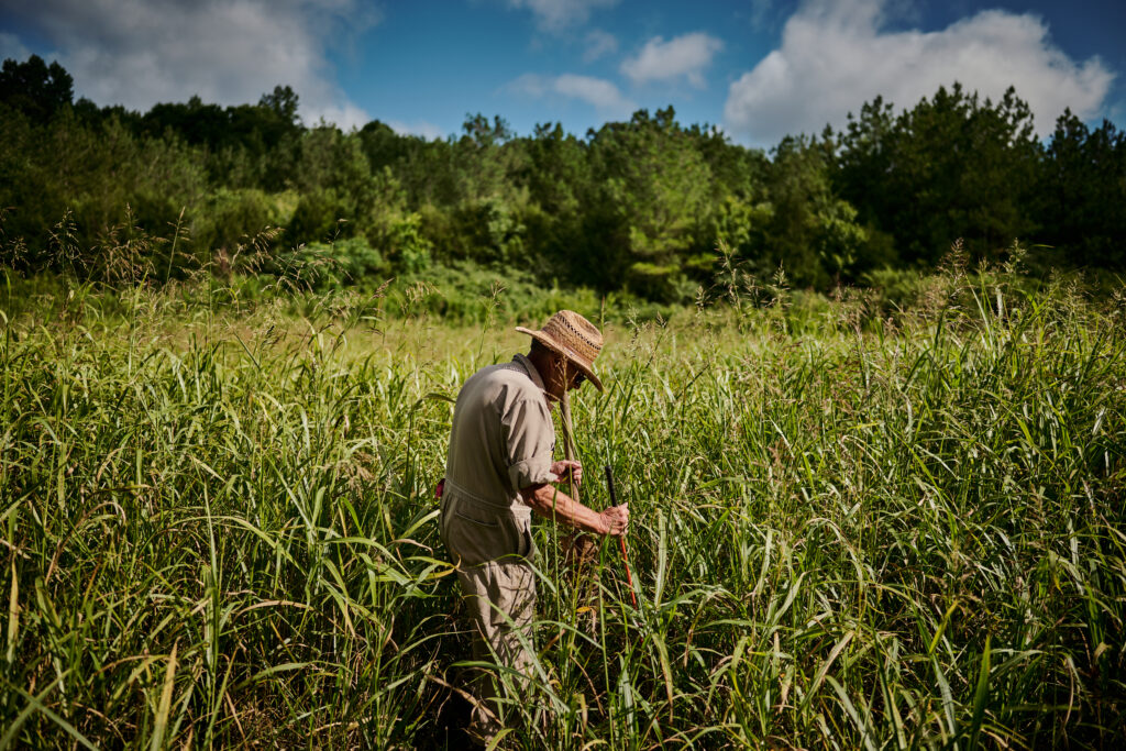
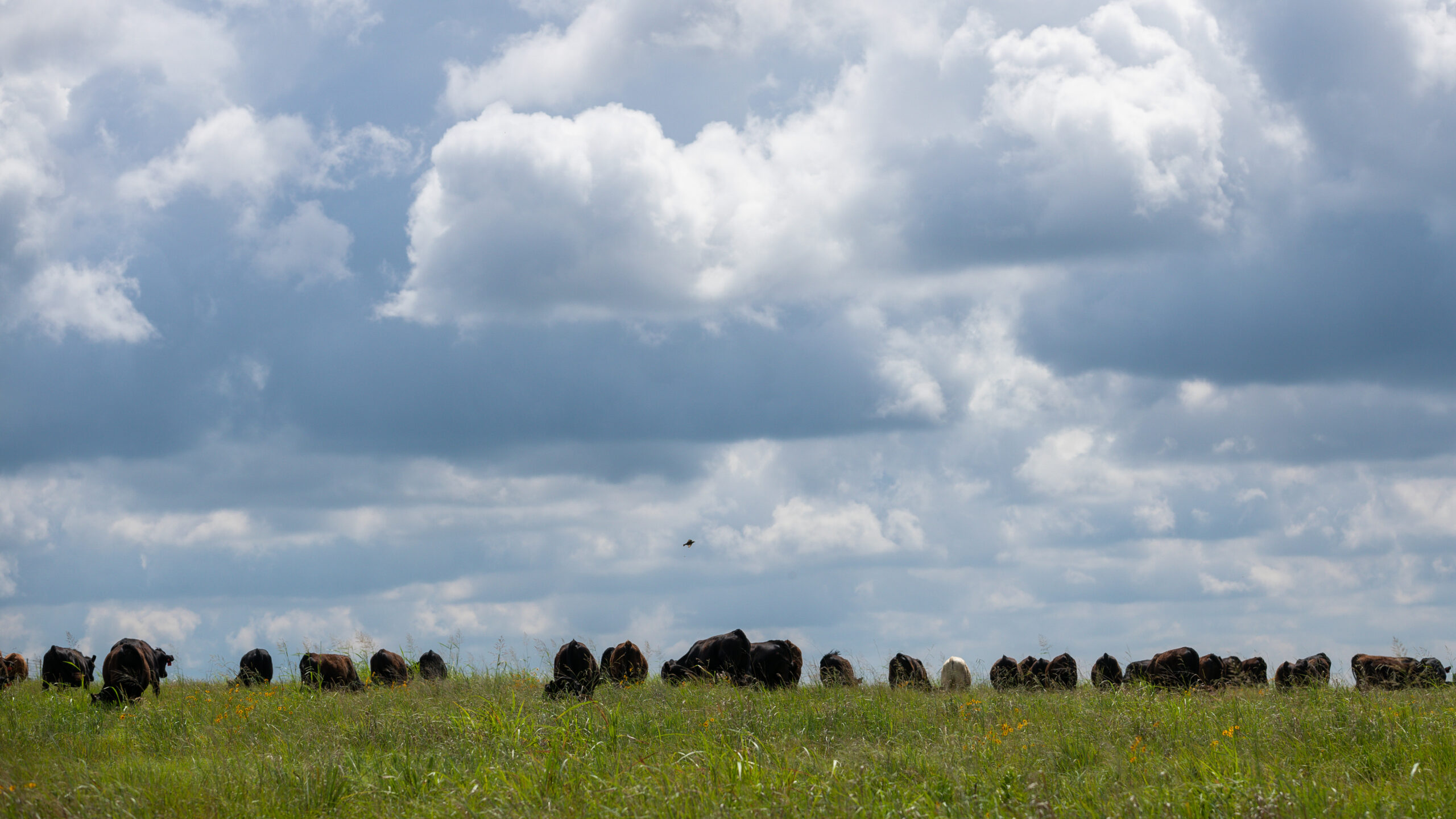
Healthier grazing lands are the best tool to improve farmer and rancher quality of life and build stronger rural communities. When grazing lands are intentionally managed, they have the capacity to support and sustain profitable grazing animal operations.
Our Ranch Management Philosophy
For farms and ranches to be successful, the stewardship of multiple resources is essential.
Noble’s educational programs help you enhance resilience and performance in areas within your control, such as land stewardship, livestock management, profitability, marketing, business strategies, people management and community engagement.
The Noble Purpose
Every Acre Matters
Healthy soils are the foundation for productive grazing lands and profitable farms and ranches. We work every day to save our grazing lands by promoting land stewardship through management, building soil health and keeping farmers and ranchers on the land. In collaboration with others, Noble aims to positively impact soil health, grazing animal production and the financial security of America’s farm and ranch families.
0M
acres transitioned to regenerative management by 2040
0K
farmers and ranchers who are implementing the six principles of soil health
Soil Health
When Less is More: Building Soil Health Builds Resiliency
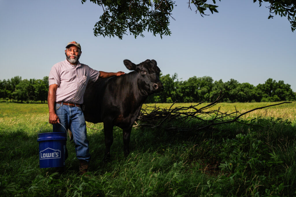
About eight years ago, Cooper and Katie Hurst learned about the soil health principles and fully embraced them. Now, Cooper likes seeing the resiliency he’s building on his land to help their Mississippi ranch weather droughts and down markets.
Discover Useful Tips and Helpful Resources
Explore our vast collection of articles on ranching and pecan production.
Learn innovative techniques to improve soil health, boost biodiversity and increase your profitability. See how regenerative ranching can make your operation more resilient and sustainable with strategies that benefit both your land and your bottom line.